Follow:
Theme:
Is Morocco Still Safe After the Ceuta Crisis?
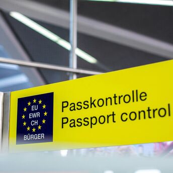
Spain–Italy Flights Face New Border Checks
Portugal Reveals Plans for Lisbon’s New Airport
Tourist Boats Grounded as Swiss Border Lake Shrinks
More Mediterranean and Red Sea Flights Launch From Glasgow
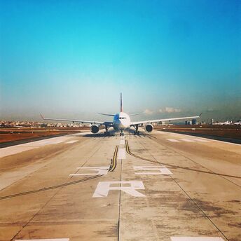
Frankfurt–Chicago Flights Go Daily in 2027
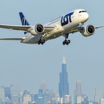
LOT Opens Sales for Warsaw–Hanoi Route
From Singapore to Nice, Finnair Spotlights Autumn Escapes
Three August Saturdays Hit by EMR Strikes
Additional Trains Scheduled for Newmarket Nights Visitors
Glasgow Rail Network Braces for Concert and Games Crowds
Ryanair Adds Flights from Dublin for Premier League Weekends
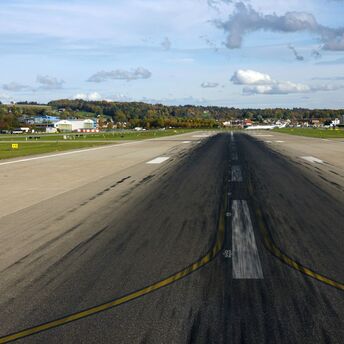
Naples Airport to Close for November Runway Works
Berlin Gets Daily Milan Flights Before Christmas
These Popular Spain Flights Face the Most Cancellations
Newcastle Skiers Get Three Direct Routes to the Alps
Turkish Travellers Get Easier Access to 12 Greek Islands
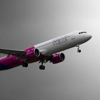
Wizz Air Adds Milan and Venice Flights from Cagliari
Airbnb Opens Free Housing for Spain Wildfire Evacuees
Almería Airport to Halt Flights for Six Days
US Airlines Ground Humanoid Robots
Europe’s Heat Fuels a Coolcation Boom
Charleroi Airport Faces 11-Week Shutdown
The Highest Free London Attraction Closes After Water Leak
Wildfires Disrupt Summer Trips in Spain and France
ITA Airways to Let Large Dogs Fly in the Cabin