Storms and Heatwave to Challenge UK Travel Plans This Week
Travelers planning trips across the UK this week need to be ready for quickly changing weather as high temperatures combined with humid air are set to bring stormy conditions. This weather change could greatly impact travel nationwide, raising risks for drivers, train passengers, and air travelers. Starting Wednesday evening and lasting through Saturday, disruptions are likely to become more frequent, especially in spots prone to local flooding.
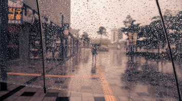
A mass of warm air moving north from continental Europe is forecast to raise daytime temperatures to between 27 and 29 degrees Celsius in parts of central and southern England. As the atmosphere becomes increasingly unstable there is a heightened chance of thunderstorms forming by midweek. The Met Office has highlighted the possibility of intense downpours, particularly in western areas where rainfall could exceed 30 millimetres within a few hours accompanied by lightning and gusty winds.
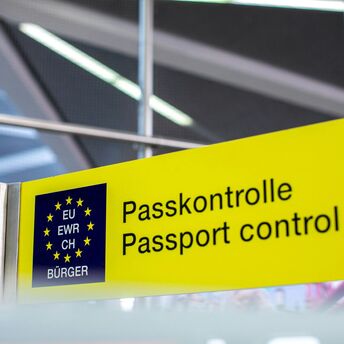
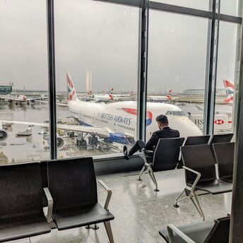
Travel disruptions caused by weather could affect various transport modes. Motorists may face challenging conditions with waterlogged roads and reduced visibility in heavy rain. Train operations might suffer delays because of flooded tracks or signalling problems, while regional airports could see temporary closures or flight diversions if storms worsen. Travelers are encouraged to monitor official weather updates and allow additional time for important trips.
Although storms may dominate later in the week there are still windows of more settled weather early on. Tuesday and Wednesday morning are expected to be mostly dry in many regions offering an opportunity for safer travel and short-term sightseeing. Indoor destinations such as galleries and historic sites are recommended as alternatives when conditions deteriorate. Travellers with flexible schedules can benefit by adjusting their plans around storm warnings.
After largely benign weather early in the week, some intense, thundery showers will move in on Wednesday evening.The intense rainfall could see 20-40mm accumulating over just a few hours, which could cause some disruption. While there are no severe weather warnings issued at the moment, it is possible thunderstorm warnings may be issued this week.
By Sunday the unsettled weather is forecast to retreat as fresher air from the Atlantic moves in. A return to calmer conditions is expected at the start of next week which will bring more stable weather for outdoor activities. For those planning to travel during this transitional period preparation and flexibility will be key to avoiding unnecessary delays and making the most of clearer conditions ahead.